A designer offers a new way to photograph and visualize a site
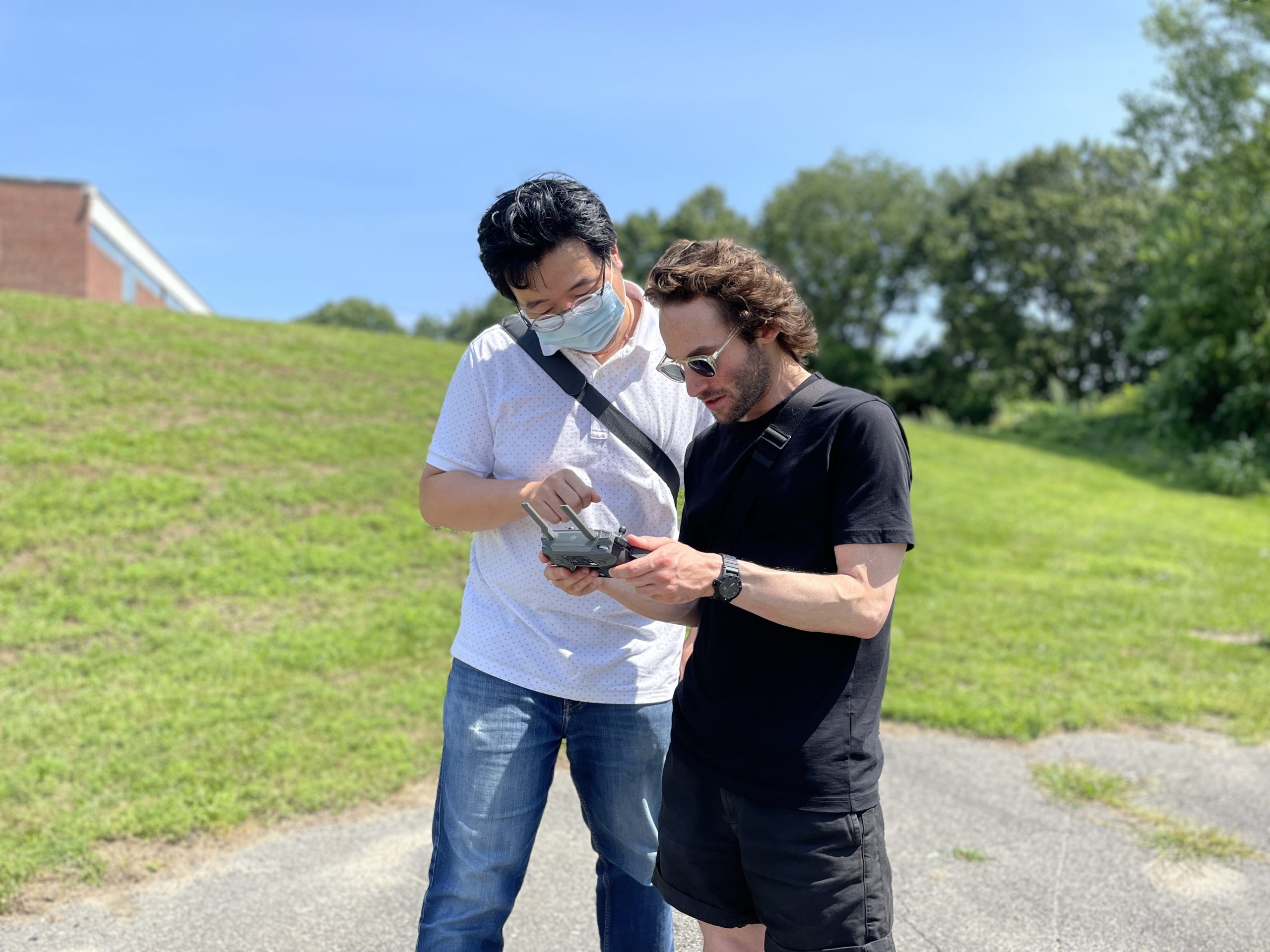
All Haosheng Zhang had to do was push a button, and yet he had some jitters. The designer was testing a drone flight path on the future site of Stoneham High School outside Boston, Massachusetts. Typically, he would pilot the drone himself to photograph a site, but not this time: The drone would fly on autopilot according to a precalculated route. “Letting it take off by itself made me a little bit nervous,” he recalls. But Zhang did press that button, and then got to watch as his calculations paid off and the drone did exactly what it was supposed to do.
The test sprouted from not having tools outside of Google Earth, Google Maps, or designers’ own cell phone cameras to examine a project site from afar. Design teams often bring diagrams and renderings to client meetings, but for clients, these don’t always capture the living, breathing nature of the site of a project. The solution? Drones.
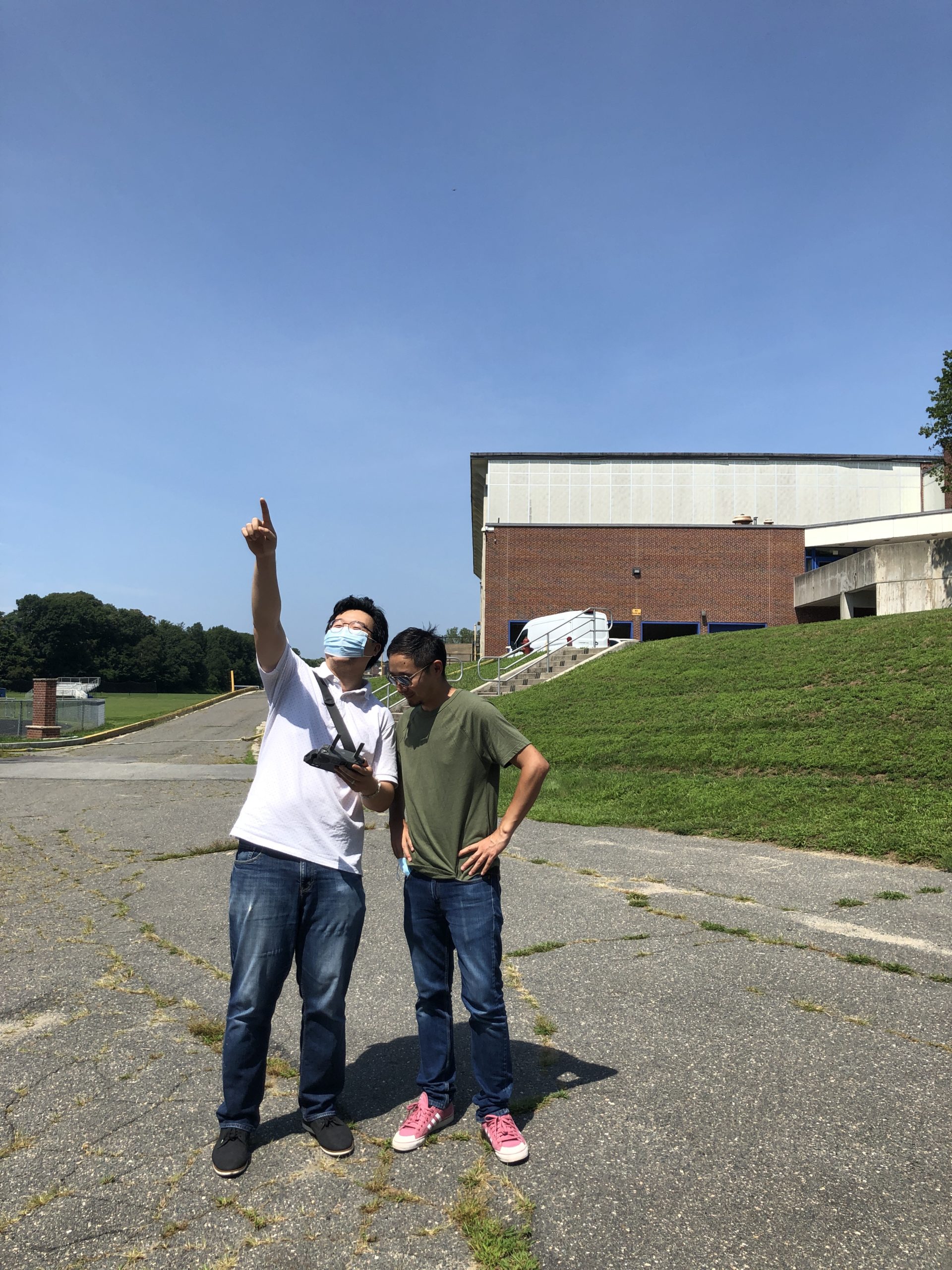
Zhang and the Innovation Incubator team tested their tool at the site for Stoneham High School near Boston.
“Drone footage of a site has become a recurring request from clients during interviews and pursuits,” Zhang explains. Drones are a tool currently under-used among architects and designers, but that is slowly changing. And so, he and a few colleagues agreed to find a new way to use them that would provide clients with more accurate depictions of their project sites.
While human-piloted drones offer more control over how a site is surveyed, that process can produce inconsistent results. Zhang set out to develop a method to program drone flight paths to consistently create accurate and relevant visualizations. “Controlling the drone with more precision gives the client more direct information on how we are going to make a project happen,” he says.
Synchronized Vision does not require a manual pilot for the drone, instead using latitude and longitude coordinates and other calculations to chart a specific flight path.
Previously, there was no way to chart a flight path based on a digital model of a site. But Zhang’s Innovation Incubator, “Synchronized Vision,” named for its marriage of physical and digital viewing options, delivers a highly accurate and informative visualization of a future project’s home. “Clients are getting a more comprehensive story of the site from the beginning,” he adds.
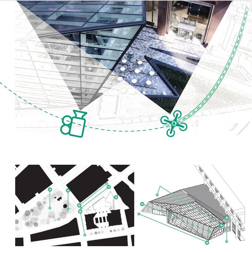
The calculations for the flight path begin on a grand scale, importing latitudes and longitudes of the site and its surrounding area. Then, Zhang incorporates data about sea levels, ground elevation, and even nearby trees. This allows him to create a mathematically triangulated flight path in Rhinoceros 3D (or similar programs), figuring out the exact camera angles needed to accurately capture specific details of the site along the way. “The most challenging part is having to think on a macro and micro scale at the same time, so the preciseness of the coordinates is really key,” Zhang explains.
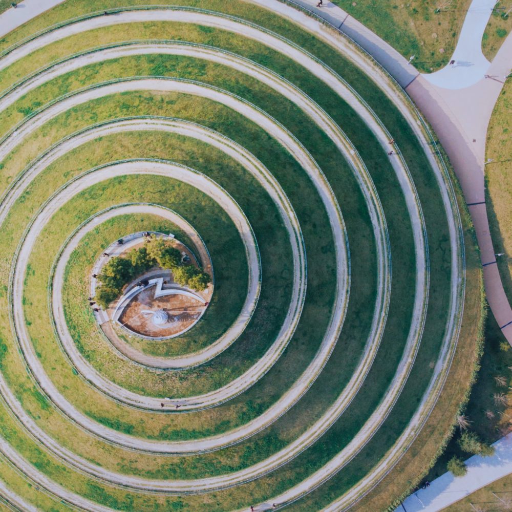
This diagram shows both the digital and physical version of the flight path
For Stoneham High School, the team set out for a flight test after Zhang finalized his calculations. They found that the margin of error had shrunk to a remarkably low fraction of an inch versus the larger gaps of past processes.
Beyond delivering a more complete and accurate virtual experience of the project site, Synchronized Vision can also examine a project mid-construction, allowing the client to see construction progress and suggest alterations before the process is too far along to accommodate them. Really, Synchronized Vision can be seen as a tool to bolster creativity on both the client and design side simply by painting a clearer picture of the reality of a site. But for Zhang it was also a rewarding chance to think outside his typical lane at the firm. “We had time to polish our own skills and showcase a new resource,” he says. “Our Innovation Incubator program allowed us to do something like this in-house—and that’s empowering.”